Le Carrelet

Ajouter aux favoris

Departing from the Col du Glandon, the Carrelet trail offers a high altitude hike between mountain pastures and panoramic views, culminating in a breathtaking view of the Grand’Maison dam and a refreshing stop at the Glandon spring.

Anaïs

As a native of the Maurienne, I enjoy walking the trails of this beautiful valley.

7.30 a.m. bright and early 

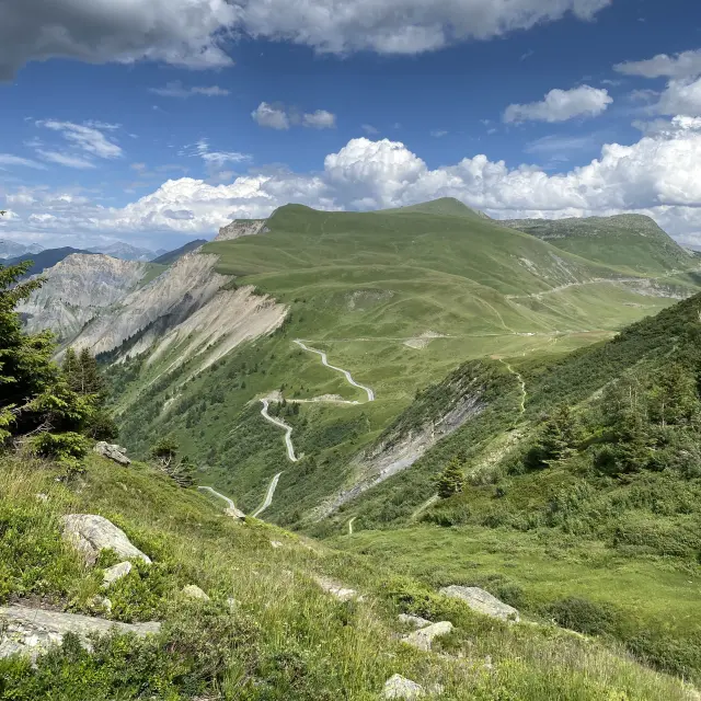
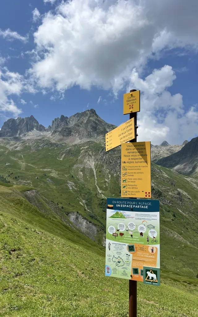
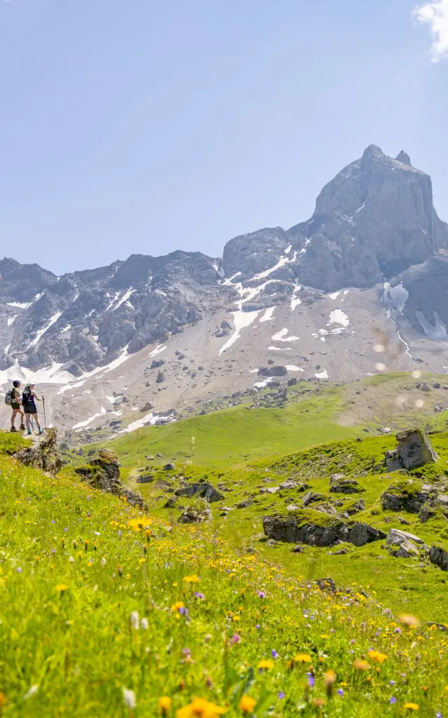
I’m leaving the Col du Glandon car park, at an altitude of 1924 m, still feeling the morning chill. The air is crisp and the light is already heralding a fine day in the mountains. Ahead of me, the balcony path leads off at a leisurely pace, with signs for Lac de la Croix, Lac de la Combe and the summit of Sambuis. I set off without too much hesitation. Very quickly, the view opens up onto the vast valley below and, in the distance, the very popular Col de la Madeleine. It’s a panorama that naturally makes you want to take your time.

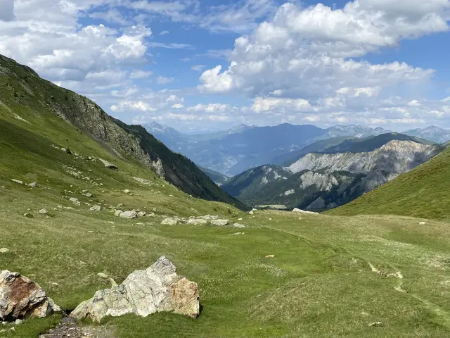
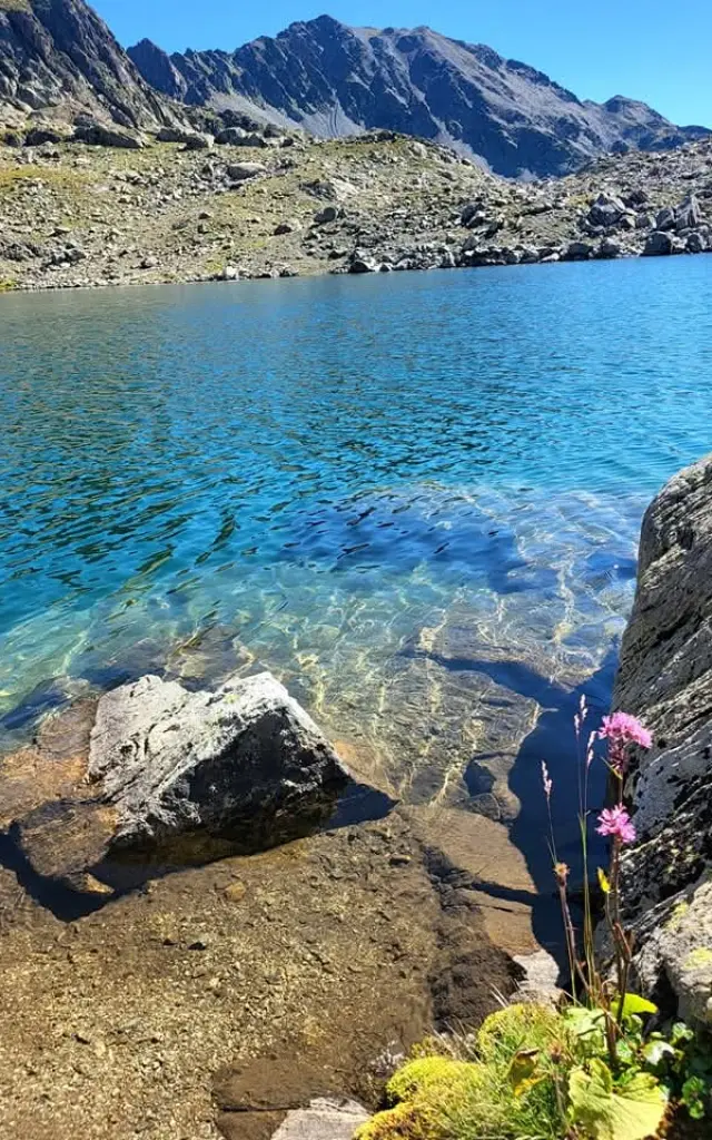
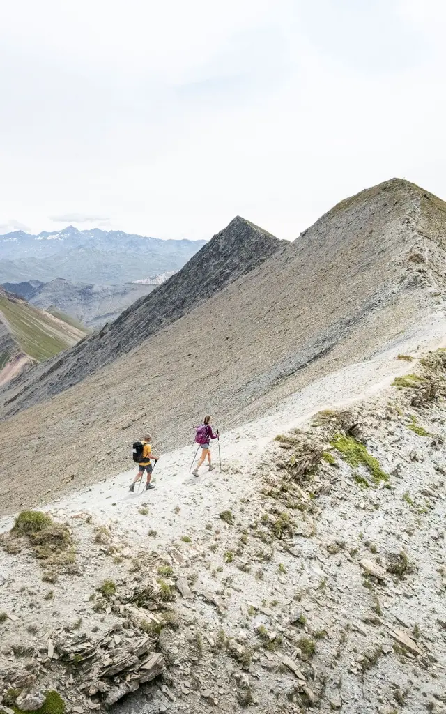
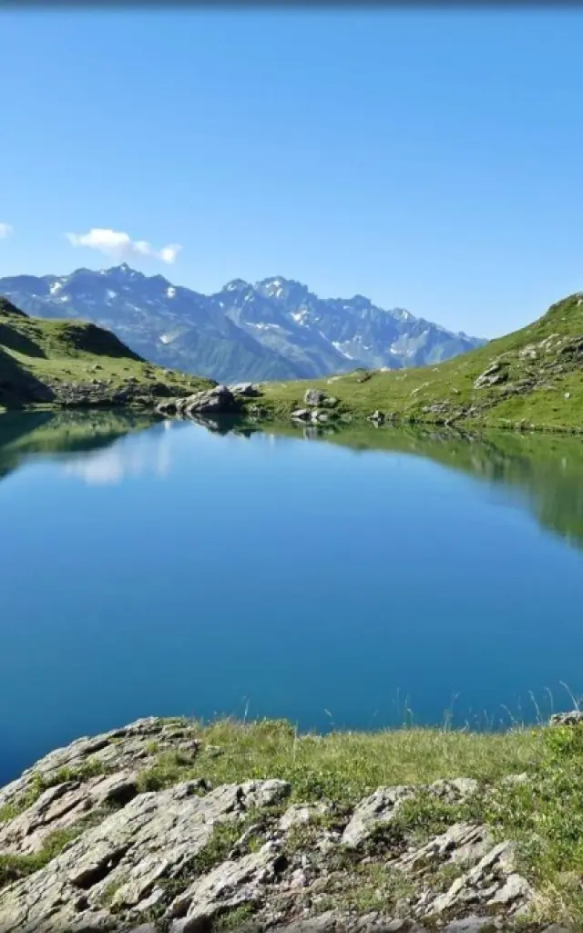
After about fifteen minutes, a fork in the road on the left indicates “Lac de la Combe”. This is where the hike really begins. The path climbs steadily and comfortably. The route leads up to Le Carrelet, at an altitude of 2151 m, about 300 m up from the start. For about an hour, I gain altitude at my own pace, accompanied by the wind. The effort remains moderate, and the landscape gradually changes.

Ascent and view of the Grand'Maison dam 

At the top, I pause for a moment. My breath was a little short, but above all I was enjoying the view. In front of me, the Grand’Maison dam appears, massive and very much a part of the scenery. The contrast with the surrounding mountains is quite impressive. I spent a few moments observing the landscape.

Mountain pastures 

I then continue to the plateau. The space becomes more open and the atmosphere calmer. I leave the route to Lac de la Combe and take the path on the right, which begins to descend gently towards the path to Lac de la Croix.

The Glandon spring 

After a few minutes’ descent, I notice a copper plaque embedded in the rock on the right. It marks the source of the Glandon. I stop for a moment. It’s a simple passage, almost discreet, but interesting: the water originates here, directly in the mountain.

I then continue downhill and find the main path that leads to Lac de la Croix. At the next junction, I turn right towards the Col du Glandon. The path descends gently and I end up crossing a stream, the sound of which accompanies the end of the hike.

Another thirty minutes or so and I’m back at the car park at 1924 m altitude. The loop is complete, with the classic but always pleasant impression of having made a simple, accessible and truly exotic outing.

A gourmet break? Chalet du col du Glandon

how to get there