Contents
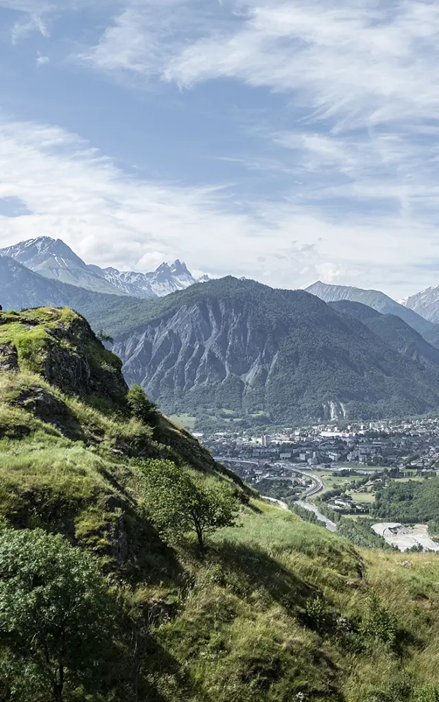
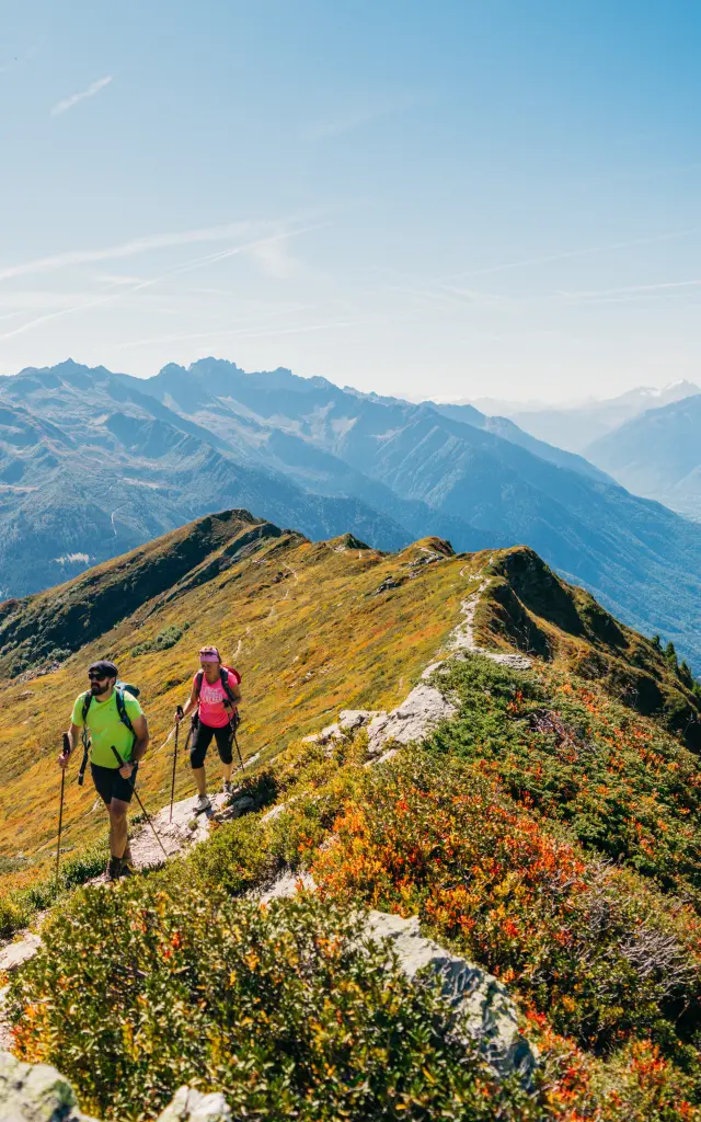
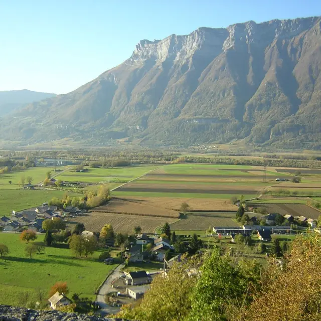
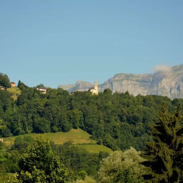
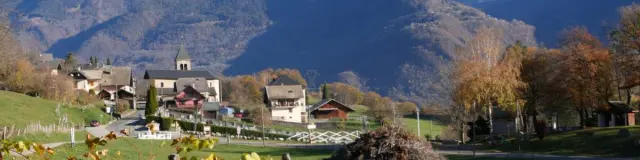
View of the Val d'Arc
|
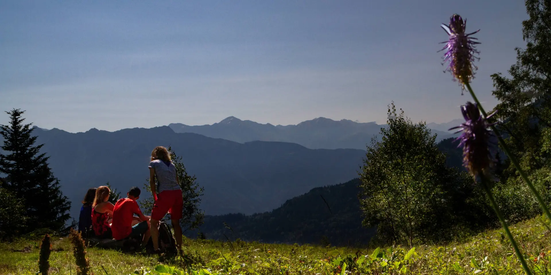
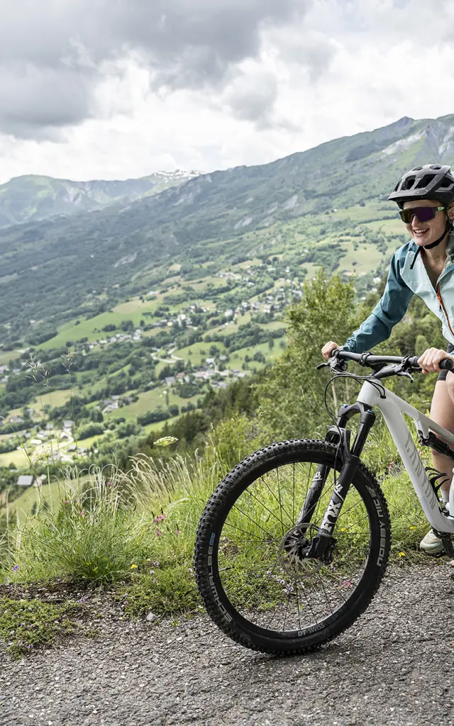
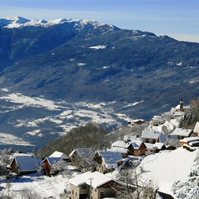
View from the refuge de la Jasse
|
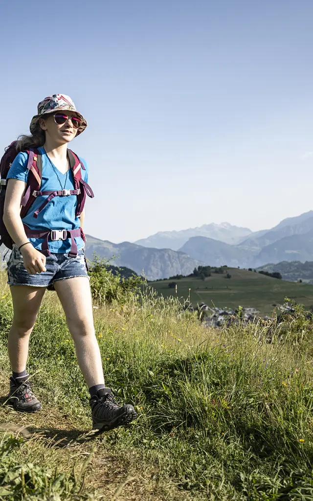
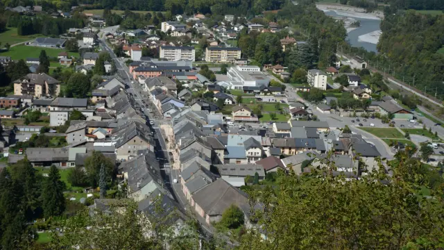
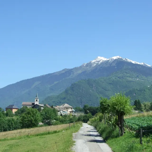
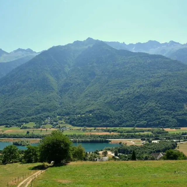
View of the Val d'Arc
|
The history of Aiguebelle is closely linked to the history of Savoie, its neighbour Randens and the Château de Charbonnière. Its name comes from the spring water (aquabella) that flowed into the fountain in the centre of the village, probably from the Montgilbert stream. However, in a charter dated 1044, Aiguebelle was referred to as Charbonnière. It was not until 1129 that the name Aiguebelle was mentioned.
Situated at the entrance to the Maurienne valley, the communication route par excellence, Aiguebelle has seen many illustrious visitors pass through on their way to Piedmont and Italy. In 200 BC, Hannibal, on his way to conquer Rome, is said to have reached the Maurienne via the Col du Cucheron, Les Hurtières and Charbonnière. At the time of the Gauls, it was the Allobroges who occupied our region. In 763, on his way from Germany to Italy, Charlemagne stopped off at St-Jean-de-Maurienne, where he set about organising Savoie. According to the Chanson de Roland, Roland’s sword, “Durandal”, was made in Les Hurtières from iron mined in the area.
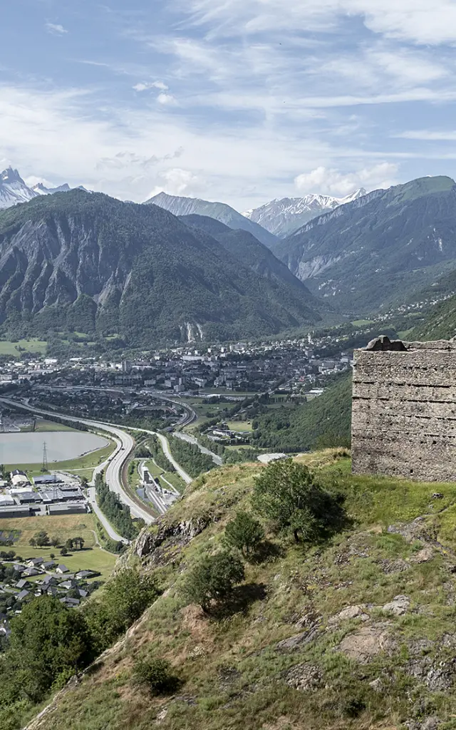
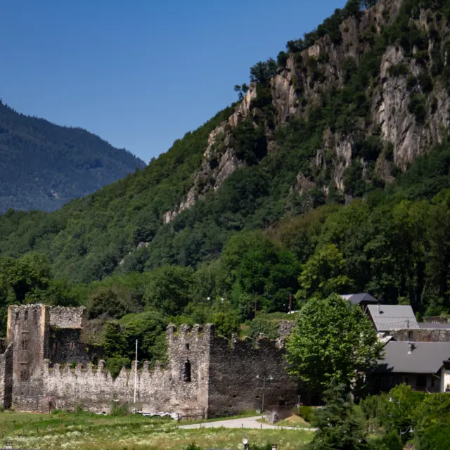
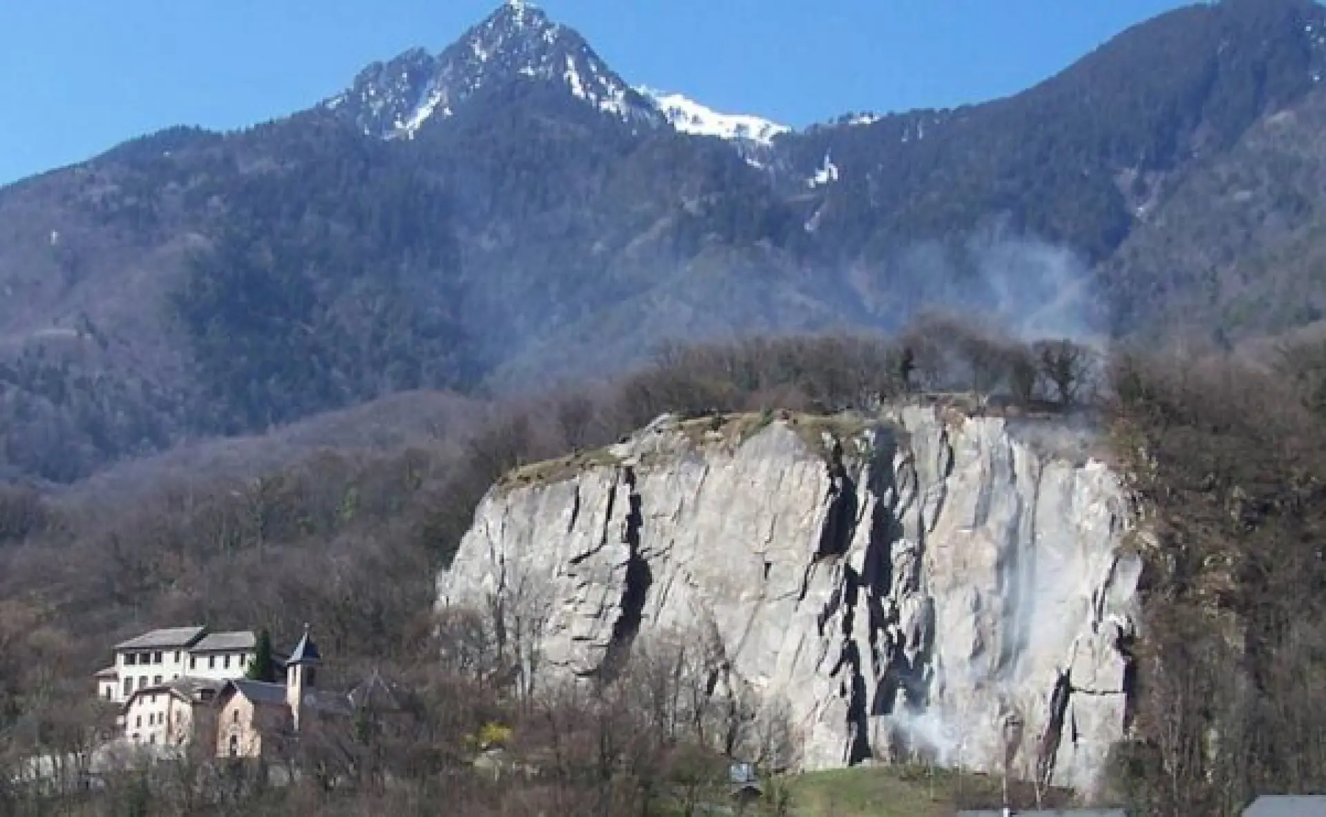
Numerous elements made this fortification a stronghold: a cleared rock face, making it easier to keep an eye on the enemy, steep cliffs and a summit crowned with walls. Many sieges took place in front of the Charbonnière fortress.
Aiton School
Argentina village
|
Bonvillaret is a “hillside” village, clinging to the mountainside in the western foothills of the Grand Arc massif, on the right bank of the entrance to the Maurienne valley. Benefiting from plenty of sunshine, it’s not uncommon to see strollers coming to soak up the sun on late autumn afternoons. Bonvillaret is, as its name suggests, a place where life is good. There are magnificent views from the church square. If you look hard enough, you can even see the Aiguilles d’Arves. A picnic table, dry toilets and water point are available.
Chateau Depierre Oda Photography
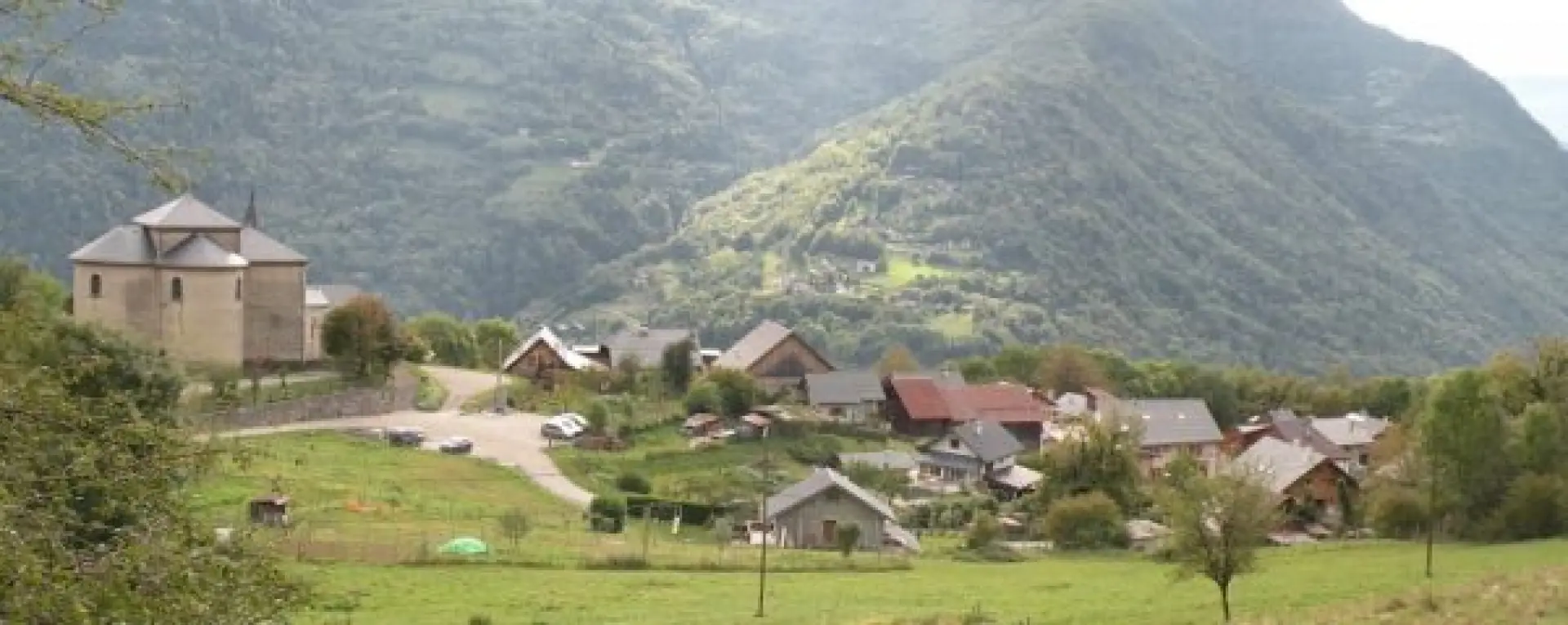
Montgilbert
Mayor Of Montsapey
Randens village
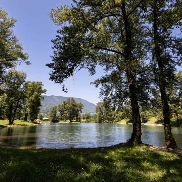
Lake Saint-Alban-d'Hurtières
Saint-Georges D'Hurtières
Saint-Léger, set on the slopes of the Hurtières massif, is a small village with many facets! You’ll be drawn to the simple beauty of its church, the rusticity of its bread oven, you’ll be surprised by the unobstructed view over the Arc valley… A humble village in the middle of all the others in the valley, Saint-Léger was no less famous, according to legend, for the presence within its walls of Fées….
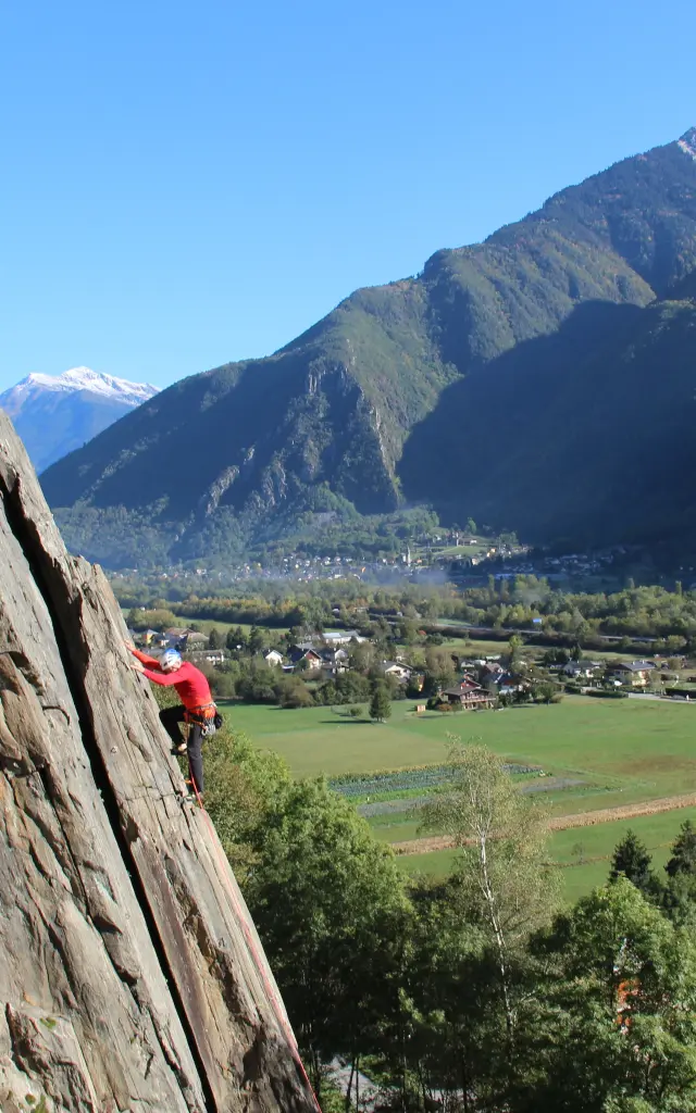
The climbing cliff is reputed to be one of the three best in the département, and with its 87 routes, it is a popular spot for rock-climbing enthusiasts.
Lake Saint Pierre De Belleville
|