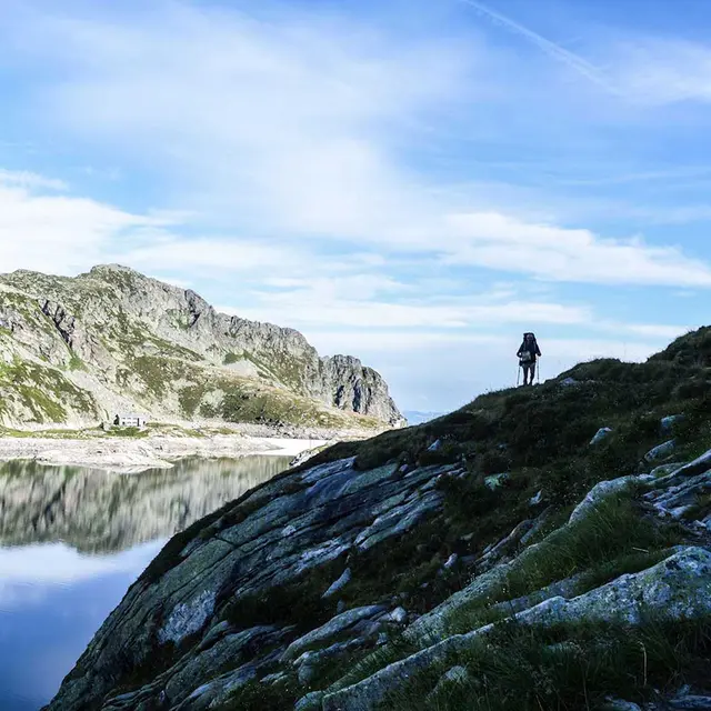
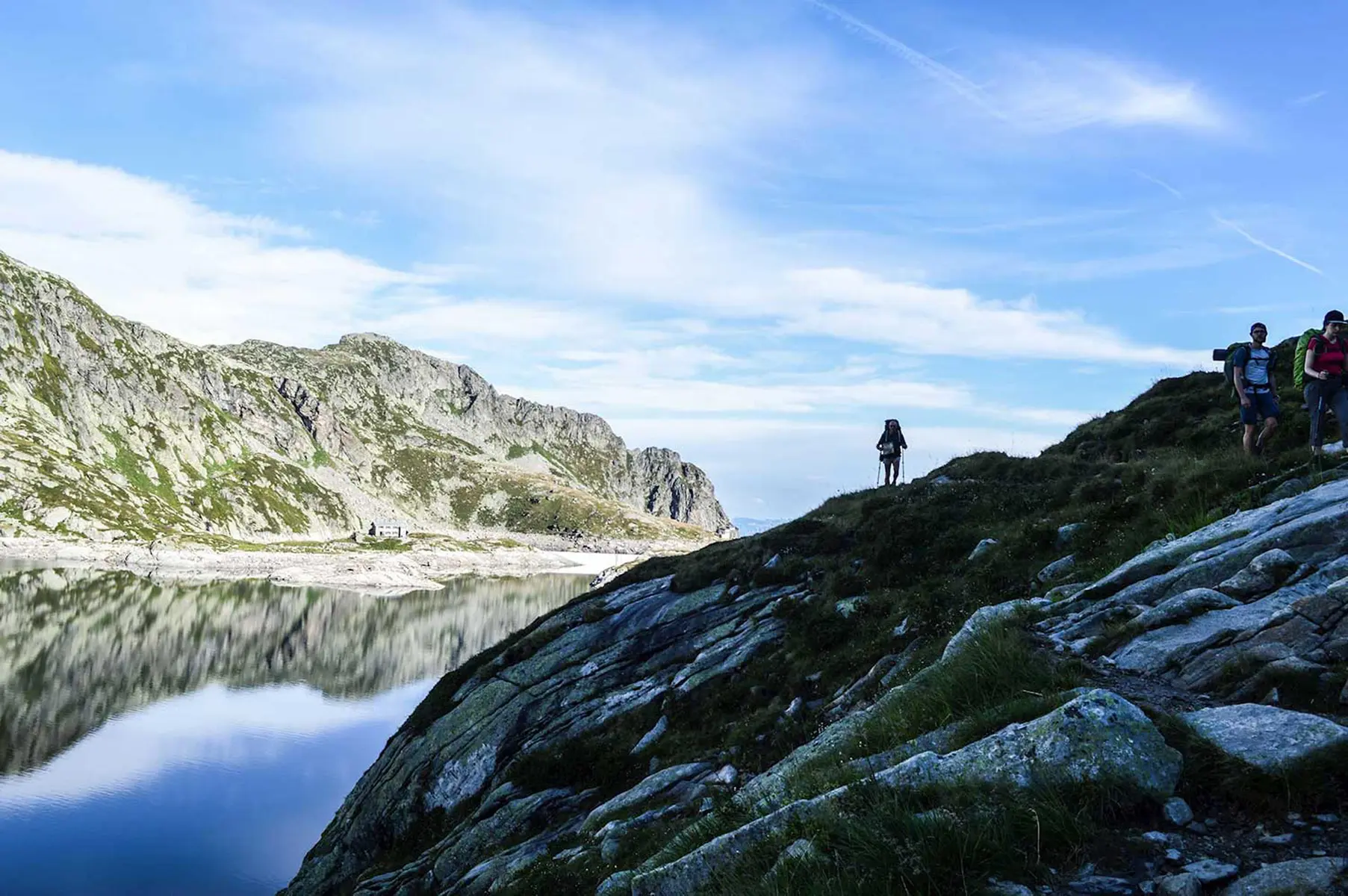
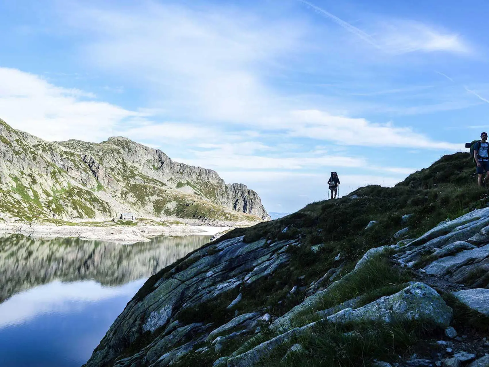
Cette superbe traversée de la chaine de Belledonne en 11 étapes, emprunte les sentiers des bergers. Débutant en Savoie, cet itinéraire sauvage vous conduira jusqu’à Vizille (Isère). On ne pouvait donc trouver plus beau symbole que de le labelliser GR 738.
11 stages of the GR 738:
- Stage 1: Aiguebelle (Val d'Arc – campground) – Le Pontet (Yayla de Rochebrune yurts). Duration: 6 hours 30 minutes; elevation gain: +1,245 m / elevation loss: -685 m
- Stage 2: Le Pontet (Yayla de Rochebrune yurts) – Refuge de la Perrière (unstaffed). Duration: 8 hours; elevation gain/loss: +1,805 m / -825 m
- Stage 3: Refuge de la Perrière (unmanned) – Refuge de la Pierre du Carre.
Duration: 7 hours; elevation gain/loss: +1,330 m / -1,440 m
- Stage 4: Pierre du Carre Mountain Hut – Oule Mountain Hut. Duration: 7 hours 30 minutes; elevation gain: +1,290 m / elevation loss: -1,370 m
- Stage 5: Refuge de l’Oule – Gite de la Martinette. Duration: 6 hours; elevation gain/loss: +810 m / -1,400 m
- Stage 6: Gite de la Martinette – Refuge des Sept-Laux. Duration: 3 hours; elevation gain/loss: +1,100 m / -130 m
- Stage 7: Refuge des Sept-Laux – Habert d’Aiguebelle (mountain hut). Duration: 5 hours; elevation gain/loss: +600 m / -1,025 m
- Stage 8: Habert d’Aiguebelle (mountain hut) – Refuge Jean Collet. Duration: 5 hours 50 minutes; elevation gain/loss: +1,060 m / -875 m
- Stage 9: Refuge Jean Collet – Refuge de La Pra. Duration: 4 hours 30 minutes; elevation gain/loss: +950 m / -780 m
- Stage 10: La Pra Mountain Hut – Chamrousse (Le Recoin – resort lodging). Duration: 3 hours 15 minutes; elevation gain/loss: +475 m / -915 m
- Stage 11: Chamrousse (Le Recoin) – Vizille. Duration: 5 hours 30 minutes; elevation gain: +410 m / -1,785 m
DETAILED ITINERARY
Follow the Sentiers des Bergers and experience transhumance for yourself! During the summer months, follow in the footsteps of the herds making their way up to the summer pastures and let yourself be carried away over the mountain passes, through the Belledonne Range and its wonders. Belledonne is a hiker’s paradise. Its alpine pastures offer boundless, wild, and welcoming landscapes—the result of the harmonious union between shepherds and nature, which have shaped this mountain for centuries.
1) STAGE 1: Aiguebelle (Val d’Arc – camping area) – Le Pontet (Yayla de Rochebrune yurts)
Duration: 6 hours 30 minutes
Elevation gain: +1,245 m / -685 m
Altitude: 320 m min. / 880 m max.
IGN 432 ET
Step-by-step directions: From Aiguebelle, take the road to Montgilbert, Le Planay, Fort de Montgilbert, and Le Pontet via Le Manchet and Les Granges.
Along the way: This stage is steeped in the history of iron. Mining sites dot the route from the Crête des Mollards down to the valley. Iron mining in Belledonne spans 700 years of history, from Durandal to the Schneider Company. As early as the Middle Ages, the Hurtières mines were the most important in Savoy and renowned for the quality of their ore. The Song of Roland recounts that the sword Durandal was forged from ore from the Hurtières. Along the ridge, from the Col du Champet to the Col du Grand Cucheron, you’ll find numerous reminders of this past. Stop at the Grand Filon Museum and explore the mine tunnels to discover this exceptional heritage.
2) STAGE 2: Le Pontet (Yurts at Yayla de Rochebrune) – Refuge de la Perrière (unmanned)
Duration: 8 hours
Elevation gain: +1,805 m / -825 m
Elevation: 880 m min. / 1,832 m max.
IGN 3433 OT
Step-by-step directions: From the Pontet marsh, take the trail through the forest, pass by “Michel’s shack,” and head to the Col du Champet. Follow the ridgeline to the Col de la Perche, which overlooks the Arbaretan mountain pasture. Descend to the headwaters of the Gargoton, climb to the Col de la Perrière, and continue to the refuge of the same name.
Along the way: The ascent from Pontet to the Col du Champet is mostly through the forest. The ridge above the Arbaretan chalet offers a magnificent view of Mont Blanc. The ascent to the Col de la Perche and then to the summit of Chapotet offers a bird’s-eye view of the alpine pastures of the Grande Montagne de Presle and Verneil. These pastures are home to local herds of heifers and suckler cows from June through October. These pastures were once thriving and heavily used, but the decline of livestock farming beginning in the 1940s and the abandonment of many alpine pastures led to a decline in dairy herding. As a result, there are now very few dairy alpine pastures in Belledonne. Consequently, the pastoral chalets on the Savoy side are rarely used, as herders typically go up to check on the herd for the day before returning to their farms. The descent to the headwaters of the Gargoton and the ascent to the Col de la Perrière via the Combe de l’Arbet Neuf is very wild and unspoiled.
3) STAGE 3: Refuge de la Perrière (unmanned) – Refuge de la Pierre du Carre
Duration: 7 hours
Elevation gain/loss: +1,330 m / -1,440 m
Altitude: 1,761 m min. / 1,832 m max.
IGN 3433 OT
Step-by-step directions: From the refuge, head to the Col de la Frèche, then to the Col d’Arpingon. Follow the trail to the Refuge des Férices. Descend to Pré Nouveau, cross the Bens River using the new footbridge, then ascend through the Claran valley, over the Col de Claran, to the Pierre du Carre Refuge.
Along the way: The stage begins with a short ascent to the Col de la Frèche and the Col d’Arpingon. The latter offers a remarkable panorama of the foothills of the Grands Moulins, the Lauzière, and Mont Blanc. Continuing along the trail, you’ll find the Férices mountain hut in a magnificent cirque—a true rocky basin. The Bens torrent marks the boundary between Isère and Savoie. Long part of the Kingdom of Piedmont-Sardinia, the Savoie region did not become part of France until 1860, following a referendum, and a few engraved boundary markers (featuring the fleur-de-lis on one side and the dolphin on the other) serve as a reminder of the history of these two departments. Next comes the Claran mountain pasture, a veritable blueberry paradise, used for three generations by a family of transhumant shepherds and their 3,000 sheep. The stage ends at the Pierre du Carre mountain hut. PLEASE NOTE: Check whether the hut is staffed this summer. You can also stay at the Claran mountain hut, located a short distance earlier along the route.
4) STAGE 4: Pierre du Carre Mountain Hut – Oule Mountain Hut
Duration: 7 hours 30 minutes
Elevation gain: +1,290 m / -1,370 m
Altitude: 1,761 m min. / 1,836 m max.
IGN 3433 OT
Step-by-step directions: From the refuge, follow the trail of the Échappée Belle, passing through Le Planay, Plan de l’Ours, Le Praillet, L’Aup Bernard, La Bourgeat Noire, and the Oule Refuge.
Along the way: This stage, characterized by a pendulum-like pattern (a 500-meter descent followed by an ascent, then a 700-meter descent followed by another ascent), is marked by its wooded trails. The Aup Bernard hut can serve as a shelter in case of bad weather and is a beautiful spot to take a break. At the very bottom, the village of Gleyzin or Bourgeat Noire is typical of these hamlets and valleys that seem frozen in time. Traditional Alpine chalets were designed to withstand often very harsh conditions, using hay for insulation and the proximity of animals for heat. The end of this stage is a great time to forage for a few mushrooms, since here all it takes is a thunderstorm for them to sprout right at ground level.
Camille and Christian will give you a warm welcome, and Christian will never tire of telling you a thousand and one stories about his work as a herder, his herds, and his dogs.
5) STAGE 5: Refuge de l’Oule – Gîte de la Martinette
Duration: 6 hours
Elevation gain/loss: +810 m / -1,400 m
Altitude: 1,075 m min. / 1,836 m max.
IGN 3433 OT
Step-by-step directions: From the lodge, descend 150 meters from the alpine lodge, then turn left (west) toward La Pierre du Pin. Climb to the Croix du Léat, then continue to the lake and the chalet of the same name. A true little paradise. Cross the Tigneux valley and continue to the second chalet at Petite Valloire (or La Fouetterie). Further down, pass by the first chalet at Petite Valloire, which has recently been renovated. Descend into the forest and join the cross-country trail to reach La Martinette.
Along the way: one of the most challenging sections of the traverse, but also one of the most beautiful. The route passes through the mountain pastures grazed by the sheep herds of the “Portes de l’Eglise” farmers’ cooperative. The landscapes along this stage are magnificent and spectacular. Starting at Lake Léat, vegetation consisting of blueberries, rhododendrons, and junipers—which provide a favorable habitat for the black grouse—has taken root. Then, a few clumps of alder trees line the path leading to the cross. This rich mosaic of natural habitats reflects the competition among plant species. In this way, pastoralism helps maintain fragile ecological balances.
Jochen will welcome you at the trail lodge.
6) STAGE 6: Gîte de la Martinette – Refuge des Sept-Laux
Duration: 3 hrs
Elevation gain: +1,100 m / -130 m
Altitude: 1,075 m min. / 2,135 m max.
IGN 3335 ET
Step-by-step directions: At La Martinette, head toward the Refuge des Sept-Laux. There are two options for ascending to the refuge: either via Les Deux Ruisseaux or via Le Cul de la Vieille.
Along the way: This area is one of the key sites of the “white coal,” the name given to the power generated by water used for electricity production, thanks to the work of Aristide Bergès in 1878 in Belledonne. Dams and penstocks have been part of the landscape here for decades. This stretch offers panoramic views of the wild massifs of Grande Valloire and Puy Gris, as well as the Haut Bréda Valley and the 7 Laux ski area. Throughout the year, herds of cattle and skiers take turns in a perpetual cycle where grazing plays a crucial role in the quality of the snowpack and avalanche prevention. The 7 Laux plateau, perched at an altitude of over 2,200 meters, is home to pastures that are particularly difficult to manage. Only sheep raised for meat are able to make the most of the meager resources on these steep slopes. This is a flock from the south that comes here to spend the summer in the cool climate. At the refuge, Simon is there, ready to welcome you.
7) STAGE 7: Refuge des Sept-Laux – Habert d’Aiguebelle (refuge)
Duration: 5 hours
Elevation gain/loss: +600 m / -1,025 m
Altitude: 1,735 m min. / 2,135 m max.
IGN 3335 ET
Step-by-step directions: From the refuge, return to the main trail and head south along Lakes Cottepens and Cos. Before reaching the shepherd’s hut, head due west and climb to the Col de la Vache (2,556 m); descend from the pass through the scree fields. Follow the trail that crosses over to the Pas de la Coche. Then, descend to the Habert d’Aiguebelle.
Along the way: you’ll cross the granite plateau of Les 7 Laux. The Les 7 Laux mountain pasture is difficult to farm because it’s very rocky. Only sheep raised for meat graze here. The ascent to the Col de la Vache follows a narrow valley. From the pass, you can admire a splendid panorama of the eastern slope of Belledonne, including the Taillefer and Grandes Rousses massifs, as well as Grenoble and the Vercors massif to the west. These scree slopes serve as a refuge for ibex. Reintroduced in the 1980s to the Rissiou massif, they have colonized the Belledonne range and grown into one of the largest populations in the Alps. Once you reach the Pas de la Coche, you’ll have a magnificent view of the Écrins glaciers. The Pas de la Coche is the lowest point on the Belledonne summit ridge, providing a passage from the Grésivaudan Valley to the Oisans. In the past, peddlers used this route to avoid the long detour required to go around the Belledonne range. The end of this stage will take you to the Habert d’Aiguebelle, with the peaks of Chamechaude and the Dent de Crolles directly in front of you.
8) STAGE 8: Habert d’Aiguebelle (mountain hut) – Jean Collet Mountain Hut
Duration: 5 hrs 50 mins
Elevation gain/loss: +1,060 m / -875 m
Altitude: 1,735 m min. / 1,960 m max.
IGN 3335 ET
Step-by-step directions: From Habert d’Aiguebelle, head up to the Pas de la Coche. Once there, head southwest and follow the yellow trail markers. The trail runs alongside and passes behind the Ferrouillet, which has been newly marked. Climb the Roche Fendue pass, the Col de la Mine de Fer, then descend steeply to the Jean Collet mountain hut.
Along the way: at the Pas de la Coche, you’ll reach the Oisans slope, which you’ll follow all the way to the Roche Fendue Pass. As you gain elevation, the landscape becomes drier, giving way to a rocky landscape. At the Col de la Mine de Fer, a quarry once used for iron mining serves as a reminder of the days when miners roamed the slopes of this valley. The trail descends and crosses the very wild valley to the refuge perched on its rocky spur overlooking Grenoble and the Grésivaudan Valley.
The new caretaker, Pauline, will welcome you.
For seasoned hikers, it’s possible to hike directly from Les 7 Laux to Jean Collet (note: this is a very long day).
9) STAGE 9: Jean Collet Refuge – La Pra Refuge
Duration: 4.5 hours
Elevation gain/loss: +950 m / -780 m
Altitude: 1,960 m min. / 2,109 m max.
IGN 3335 OT
Step-by-Step Guide: From the refuge, you can see the Habert du Mousset below. From there, the ascent continues across scree fields up a steep slope. It’s not uncommon to encounter the herd from the Jean Collet mountain pasture here. The trail then leads to the Col de la Sitre and on to the Col du Loup. This section offers magnificent panoramic views of the valleys of southern Belledonne, as well as the neighboring Chartreuse and Vercors mountain ranges. The trail then heads toward Lac du Crozet. The route finally continues along numerous rocky switchbacks to the Col de la Pra, near the water distribution system built following the legal disputes involving Aristide Bergès, one of the pioneers of “white coal” (hydropower), who had diverted the waters of the Doménon. At the end of this crossing, Stéphanie and Quentin will give you a warm welcome at the Refuge de la Pra.
10) STAGE 10: La Pra Refuge – Chamrousse (Recoin – resort lodging)
Duration: 3 hrs 15 mins
Elevation gain/loss: +475 m / -915 m
Elevation: 1,650 m min. / 2,109 m max.
IGN 3335 OT
Step-by-step: This route follows the old GR®549 trail to the Robert Lakes. Head to Recoin via Lac des Pourrettes.
Along the way: From the mountain hut, descend through pastures dotted with ponds, streams, and numerous lakes with crystal-clear waters. In these magical places, the mountains are home to a local flock of nearly 1,500 ewes. All the way to the Robert Lakes, the unbroken and majestic chain of Belledonne peaks and lakes stretches out, where shepherds and hikers regularly cross paths. You are now entering a protected area, a Natura 2000 site. The trail passes through a distinctive area with a sparse forest of Swiss stone pines—a rare species of conifer—and mountain pines. Beyond the Robert Lakes, you can easily reach the Chamrousse resort. A flock of 1,200 ewes from southern France and a few heifers graze there from June through October.
In Chamrousse, you’ll find a livelier atmosphere and can enjoy the current activities and events.
Accommodations, dining options, and public transportation are available.
For more information, contact the tourist office at 04 76 89 92 65 or visit https://www.chamrousse.com
11) STAGE 11: Chamrousse (Recoin) – Vizille
Duration: 5 hours 30 minutes
Elevation gain: +410 m / -1,785 m
Altitude: 268 m min. / 1,650 m max.
IGN 3335 ET
Step-by-step directions: From Le Recoin to Chamrousse, head toward Roche Béranger, then descend to Vizille via the Col de la Madeleine. Pass through the hamlets of Mont Sec and Montjean. Arrive in Vizille via the national highway (100 m).
Along the way: This final stage is unique and reveals its charm through its mostly forested descent. A splendid forest with a variety of tree species. The views of the Matheysin Plateau rival those of the more mountainous sections that came before. The hamlets of Mont Sec and Montjean are authentic and offer a glimpse into the peaceful lives of their residents. A steady descent to Vizille, where you’ll arrive behind the castle and its estate. Vizille, the cradle of the Revolution: a historical stop is a must, and you’ll learn all about the origins of the Revolution.
Accommodations, dining, and public transportation are available.
For more information, contact the tourist office at 04 76 68 15 16 or visit https://www.sudgrenoblois-tourisme.com directly.