Aller au contenu principal
Voir les favoris
Search
en
Explore Maurienne
Discover
Not to be missed
Top 10 walks
The greatest passes
The Maurienne and its history
Meet our producers
Local crafts
Activities
Hiking
Bike
Climbing and flying
With animals
Swimming
Adventure games
Cultural activities
Fishing
Snow activities
Practice
Restaurants
Accommodation
Shops
How do I get there?
Webcam
Weather
Agenda
Village stations
Albiez-Montrond
Saint-Colomban-des-Villards
Les Bottières
Grand Coin Nordic Area
Online shop and ticket office
Webcam
Agenda
Brochures
Shop / Tickets
Home
Activities
Hiking
Roaming
Le sentier du Haut
Le sentier du Haut
Elevation : 1274m
Route de la Chavonnerie, 73300 Saint-Pancrace
Getting there
×
Open the itinerary in
Google Maps
Apple Plans
Waze
Mappy
Share
Ajouter aux favoris
Add to my favorites
×
Share this sheet
Le sentier du Haut
E-mail
WhatsApp
Facebook
X
LinkedIn
Pinterest
©
OTICoeurdemaurienne
©
Tilby Vattard
×
©
OTICoeurdemaurienne
©
Tilby Vattard
Description
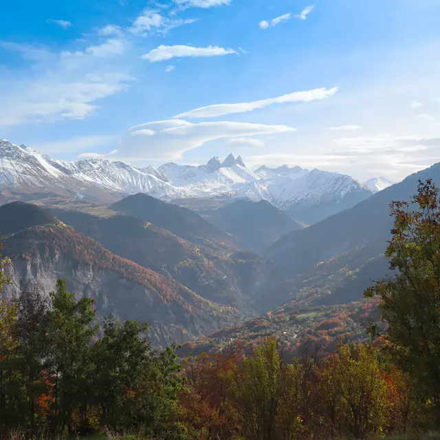
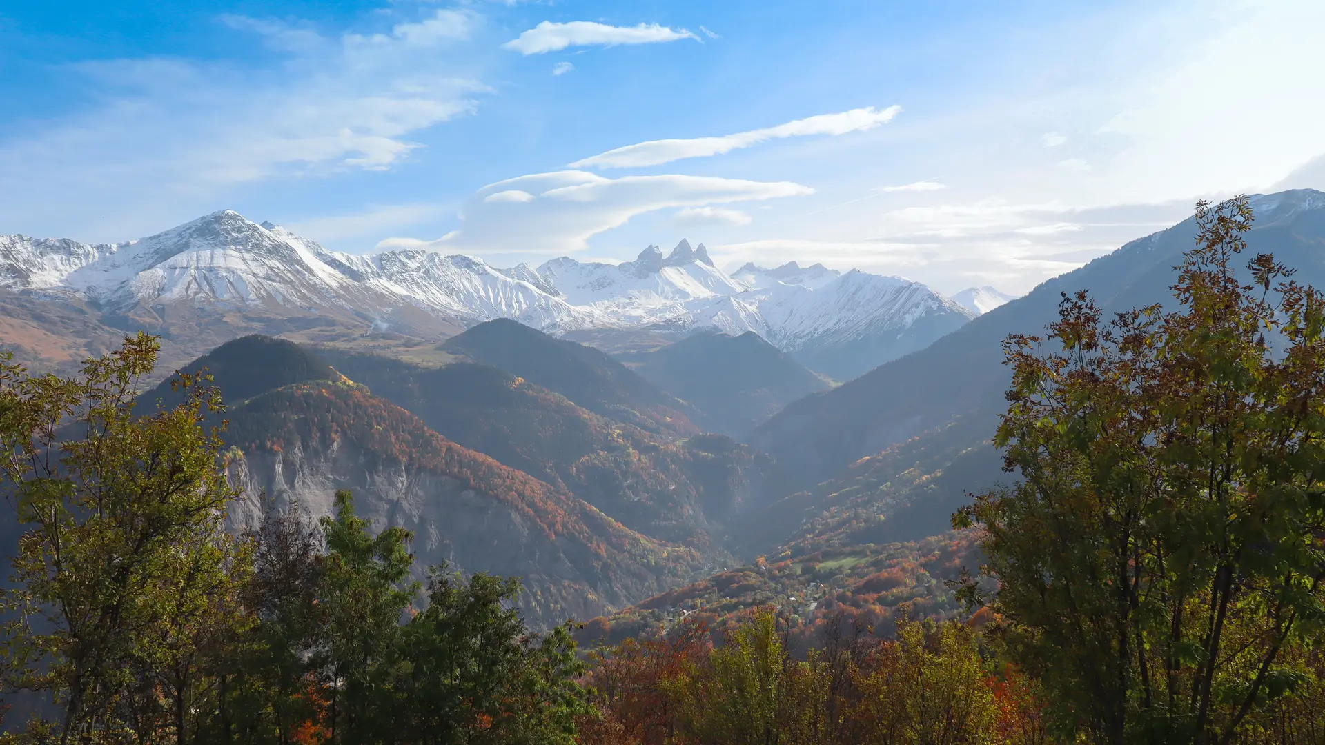
Explore the heights of Saint-Pancrace on this beautiful loop, with panoramic views of the Aiguilles d'Arves, the Maurienne valley and Saint-Jean-de-Maurienne.
Services
Animals accepted
View all services
×
Services
Pets welcome
Pets allowed on leash only.
Plain text period
All year round daily.
Subject to favorable weather.
Close
Popular searches
{% label %}
Filter search
Page types
All
Articles
Agenda
Lists
Aucun résultat
/
English
Français
Close
×