Starting from the Saint-Colomban-des-Villards cemetery, you'll begin with a climb along a shaded, paved road. You'll then take a path through a clearing to reach the hamlet of Villard-Martinan, before continuing to the hamlet of Lachenal.
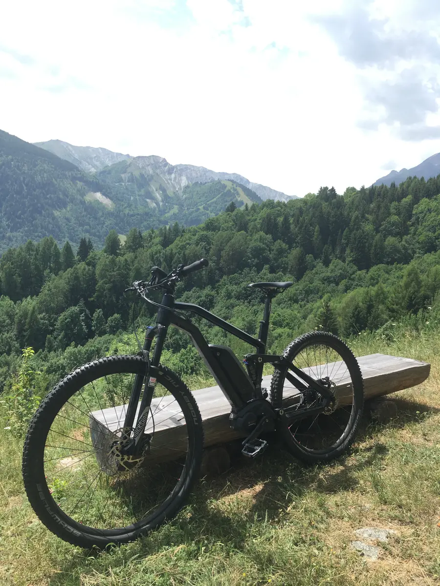
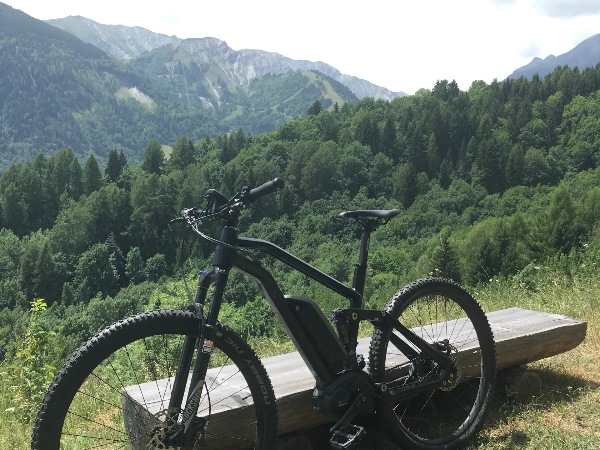
You'll continue the climb along a path alternating between clearing and forest. At a crossroads, take a panoramic trail on your left, offering views of the Villards Valley.
The route will then take you across a stream before descending on a winding, shaded road that will bring you back to the starting point.
Km: 4 km
Elevation: 143 m
Elevation: 143 m
Time: 2 hours
Level: Easy, green
Marking: FFC marker + green marker No. 62
Min. Altitude: 1122 m
Max. Altitude: 1254 m