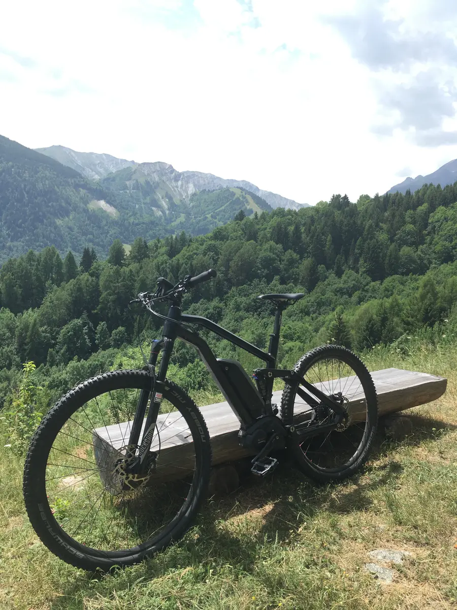
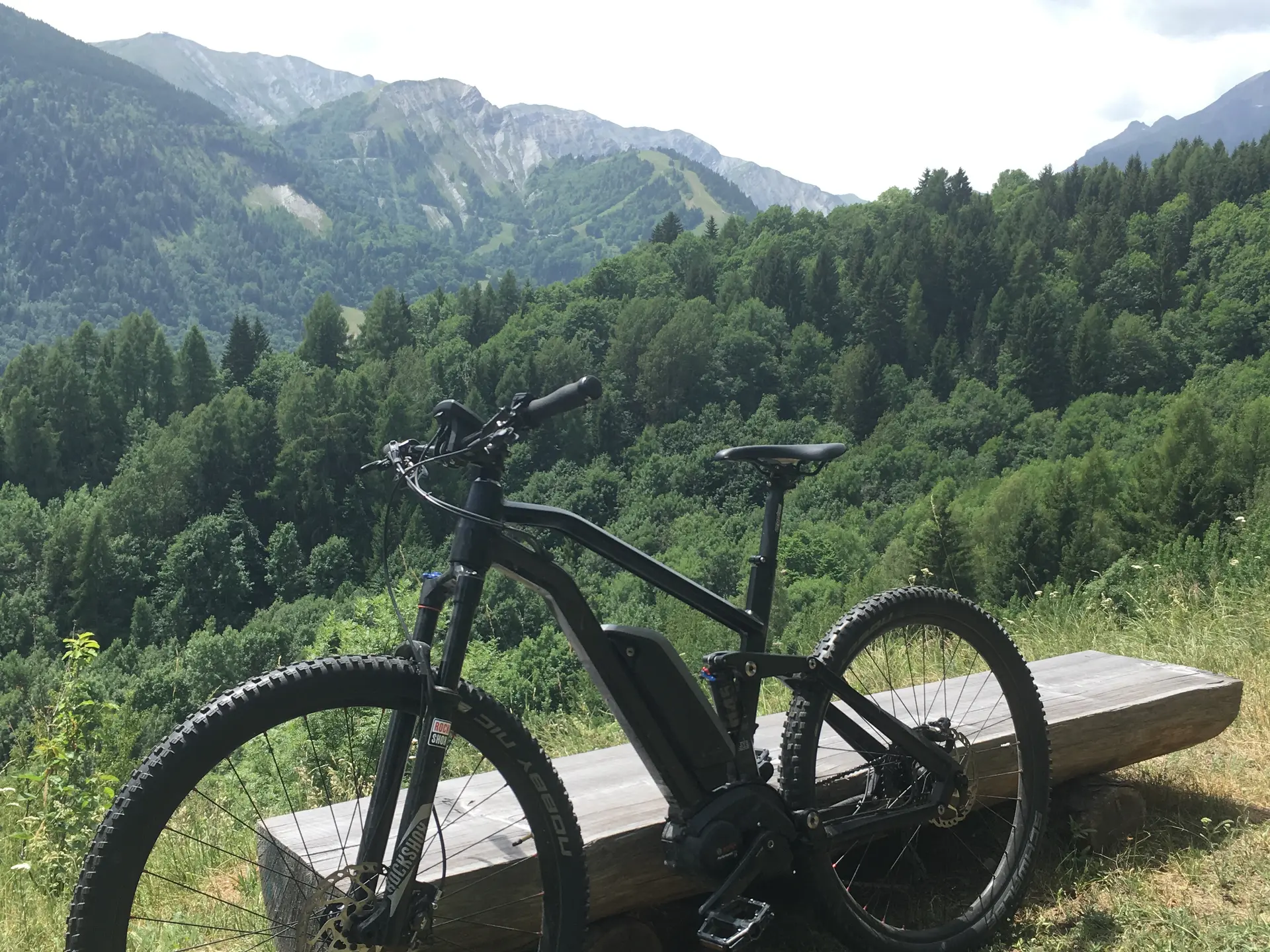
Departing from the main town of Saint-Colomban-des-Villards, take a path below the town hall to the bridge, then turn right towards the hamlet of Nantchenu. Once past the paved section, follow a 4x4 track alternating between clearings and forest to Bon Mollard.
You will then begin a rather technical descent, with hairpin bends and a relatively narrow path. You will reach the Rivaud Bridge, where you can observe and enjoy the sound of the torrent.
The next climb is along the road towards Croix des Charières, before taking a panoramic path, alternating between forest and clearings, to reach the main town of Saint-Colomban-des-Villards.
Km: 9.83 km
Elevation: 490 m
Elevation: 490 m
Level: Medium, Blue
Time: 3h30
Marking: FFC marker + blue marker no. 64
Min altitude: 974 m
Max altitude: 1256 m