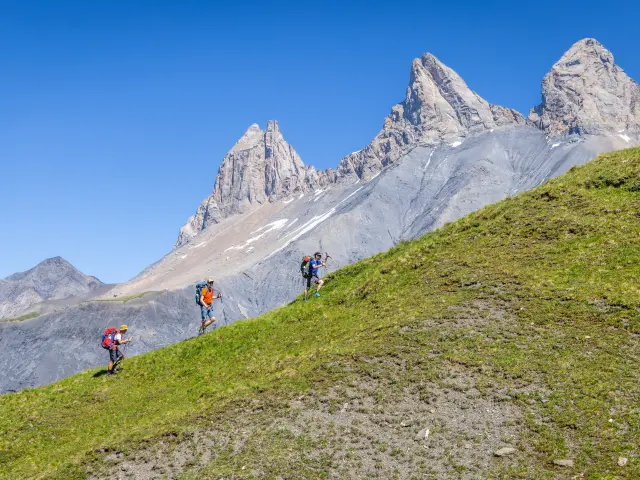
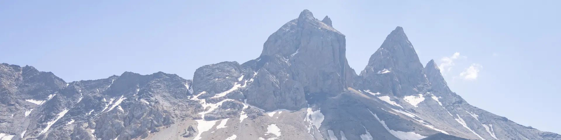
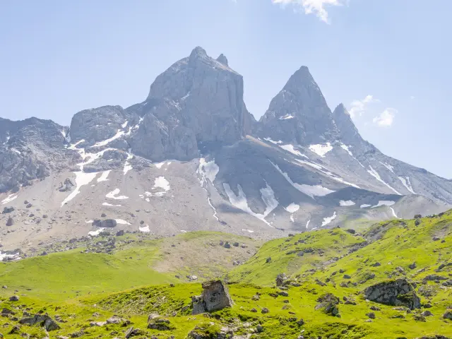
©

Darves needles

|

Thibaut Blais

Tour of the Aiguilles d’Arves

Between Savoie and Hautes-Alpes, the Tour des Aiguilles d’Arves is a trek for experienced hikers, with a total of 98km and 6113m of ascent over 7 days.

An adventure that lasts
1 week
Get ready for
98 km
Step
01 Step 01

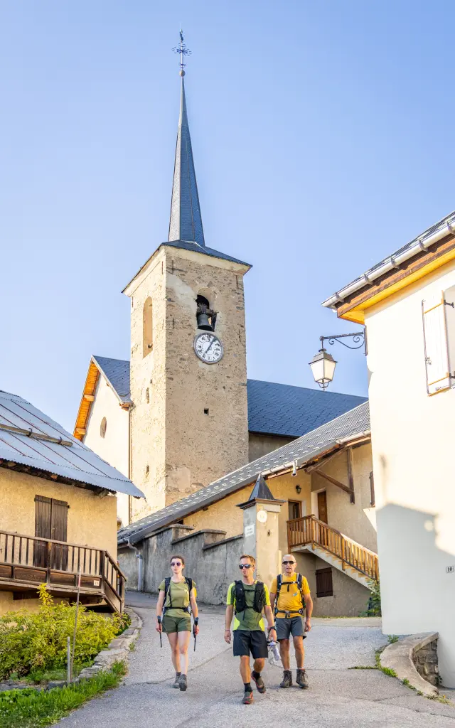
 Albiez-le-Jeune - Chalet d'la Croë

🥾 14.8km 🧭 6h20 📈916 📉205

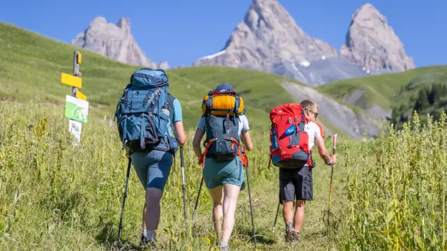
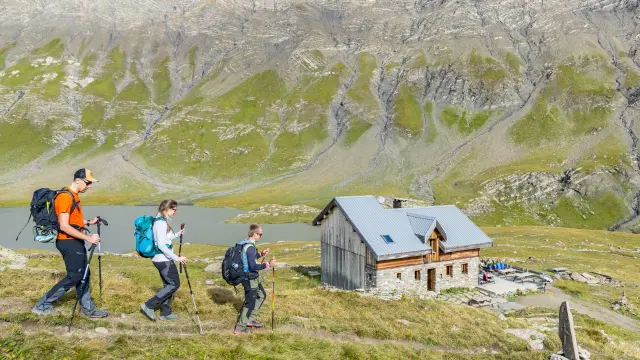
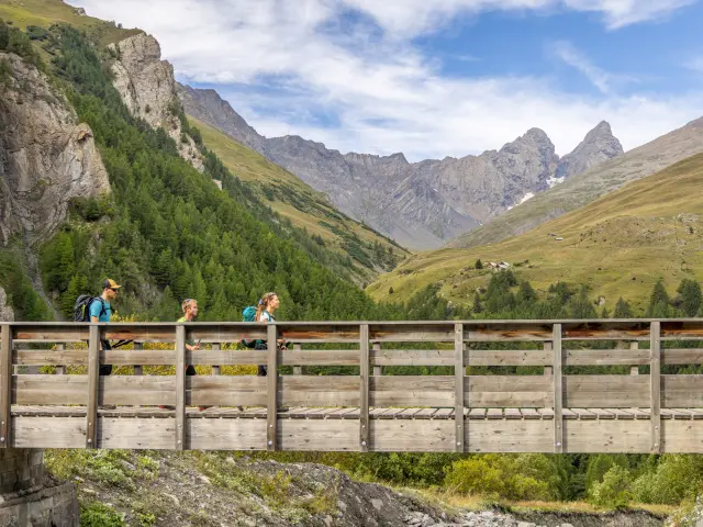
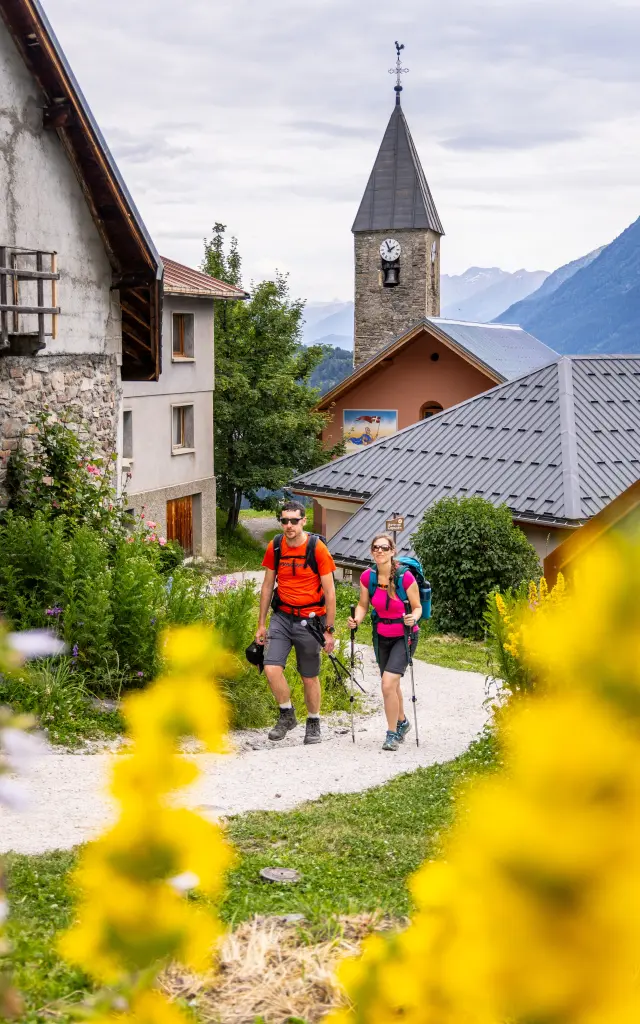
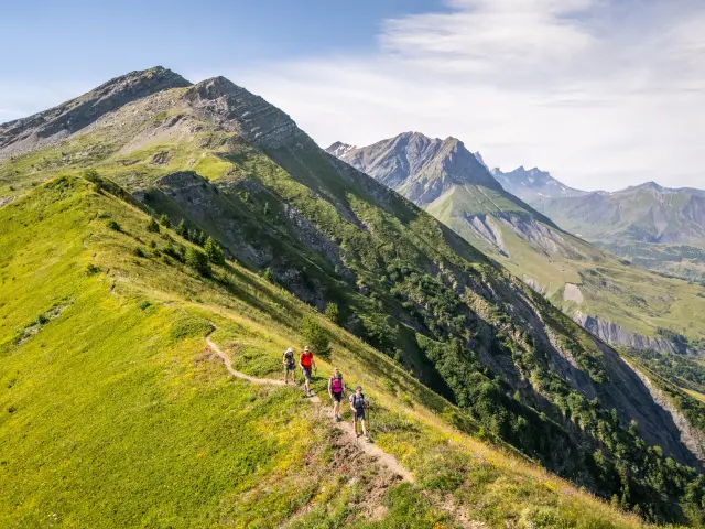
From the leisure centre on the edge of the village of Albiez-le-Jeune, the route gradually leaves the narrow streets behind and opens out onto a landscape of meadows and forests. The route leads to the Moine de Champlan, an astonishing fairy chimney topped by a boulder, a geological curiosity emblematic of the area. The route then continues through hamlets and mountain pastures to Albiez-Montrond, a pretty mountain village where you can take a break or stock up on supplies before continuing on your way.

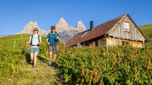
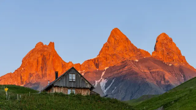
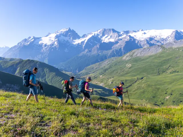
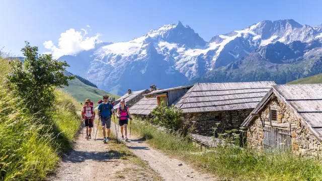
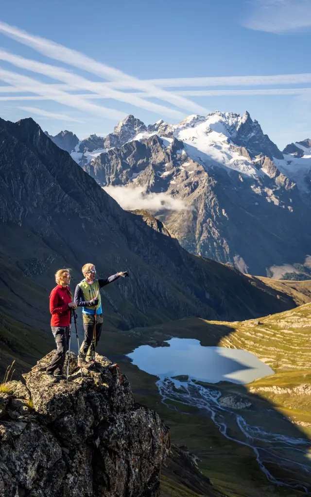
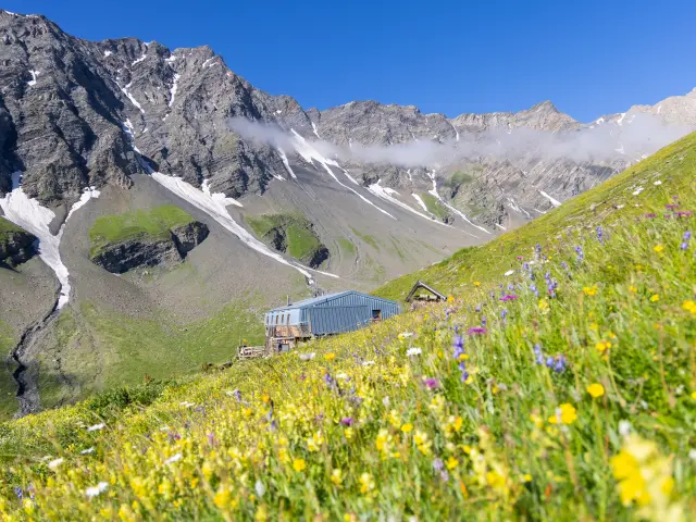
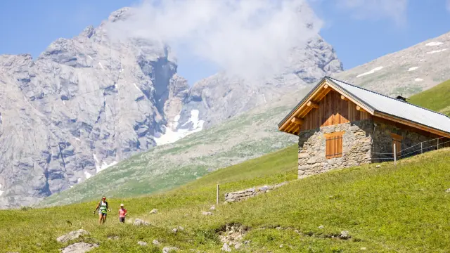
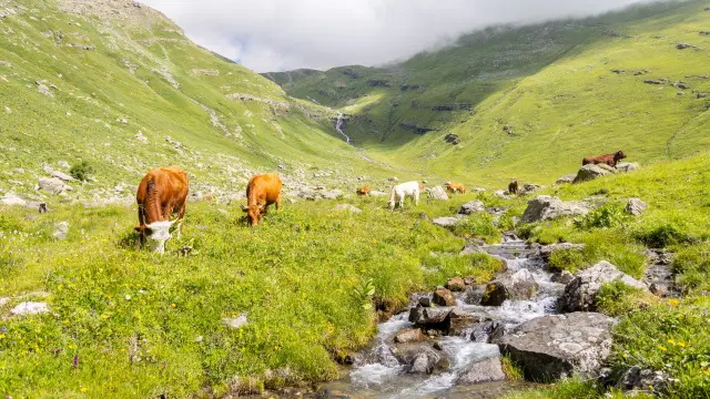
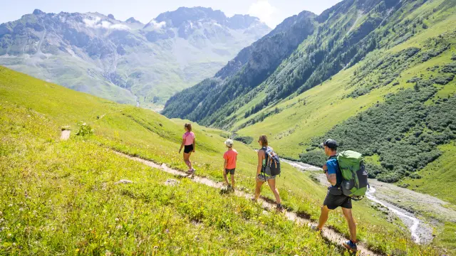
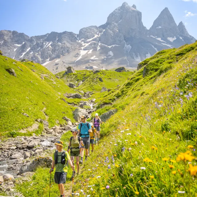
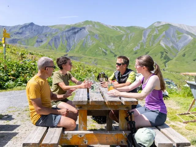
The climb to the Col du Mollard gradually opens up the views. As you progress, the landscapes become more open and the high mountains come closer. The mountain pasture paths lead to the Montrond plateau, a vast pastoral area dominated by the surrounding peaks. The arrival at Chalet d’la Croë, at the foot of the Aiguilles d’Arves, is the perfect way to end the day: a warm atmosphere, peaceful mountain pastures and, depending on the time of day, magnificent views of the peaks.

02 Step 02

 Chalet d'la Croë - Chalet du Perron

🥾 8.4km 🧭 4h 📈530 📉458

From the Chalet d’la Croë, the route crosses vast mountain pastures, in a pastoral atmosphere typical of the Aiguilles d’Arves. The terrain remains gentle and the route takes in wide open spaces where herds graze during the summer months. The route progresses gradually below the Tête de Chat, in a setting where meadows rub shoulders with a more mineral world.

Passing the Basse du Gerbier marks the start of the descent to the Chalet du Perron. From this crossing point, the panoramic views open up wide in the heart of a wild landscape. The descent then continues quietly through the mountain pastures, in a peaceful high mountain atmosphere. The arrival at Chalet du Perron offers a simple, warm welcome, ideal for a stopover in the heart of the high-altitude pastures.

03 Step 03

 Chalet du Perron - Refuge du Pic du Mas de la Grave

🥾 13.2km 🧭 7h30 📈1087 📉1293

From Chalet du Perron, the route first crosses the peaceful alpine meadows of La Saussaz, where the vast pastures contrast with the more austere relief on the horizon. Gradually, the atmosphere changes and the mountain becomes wilder. The climb up to the Tranchée is one of the highlights of the day, leading to an isolated hanging valley dominated by large mineral slopes. Here the terrain becomes wilder, with streams, talwegs and scree as you make your way upwards.

The route then reaches the Col de Martignare (2,763 m), an ancient pass linking the Arves and La Grave valleys. This pass is steeped in history, and was once used by local people to get to the livestock fair in La Grave. The British mountaineer Edward Whymper, famous for his first ascent of the Matterhorn in 1865, also crossed it during his explorations of the Écrins massif. From these heights, the panorama opens out onto the glaciers of the Meije and the peaks of the Écrins.

The route then continues along a panoramic ridge before reaching the Pic du Mas de la Grave refuge, a renovated refuge offering a comfortable and friendly welcome in the heart of a high mountain environment. This is a long, wild and difficult stage. You’ll need to know your way around and be able to read a map.

04 Step 04

 Refuge du Pic du Mas de La Grave - Refuge du Goélon

🥾 15.4km 🧭 7h10 📈1057 📉532

From the Pic du Mas de la Grave hut, the route takes in mountain pasture paths overlooking the La Grave valley. Progress alternates between pastoral tracks and balcony paths, offering sweeping views of the Meije and its glaciers, ever-present on the horizon.

The route then crosses vast pastures and crosses several combes and torrents descending from neighbouring summits. As you cross, the landscape changes between alpine pastures, schistous terrain and mineral slopes, typical of this high mountain sector.

The final climb to Cruq des Aiguilles is the last effort of the day. From this panoramic pass, you can enjoy views of the Aiguilles de la Saussaz, the Aiguille du Goléon and the great peaks of the Écrins massif.

The descent then leads quickly to the Goléon refuge, nestling above the lake, facing the mineral cirque and glaciers of the Meije. The peaceful atmosphere makes it an ideal stopover in the heart of this high mountain landscape.

05 Step 05

 Refuge du Goléon - Refuge des Aiguilles d'Arves

🥾 15.8km 🧭 8h 📈987 📉1213

From the Goléon refuge, the route first skirts the lake in a mineral setting dominated by the pointe du Goléon. The climb up to the Col du Goléon quickly plunges the hiker into an alpine atmosphere, with grassy slopes, rocks and scree.

From the col, the descent opens up vast views over the wild Goléon combe, dominated by the Grand Galibier mountains. The landscape gradually becomes gentler as you reach the bottom of the valley.

The route then continues through the more popular Combe de Mortavieille, with its mountain pastures and small hamlets. After passing through Bonnenuit, the route climbs back up through a beautiful larch forest, offering a shadier atmosphere.

The final climb takes you through mountain pastures to the Aiguilles d’Arves refuge, ideally situated at the foot of the famous peaks that dominate this area. This mountain refuge, set in an imposing setting, is an ideal stopover in the heart of the massif.

06 Step 06

 Aiguilles d'Arves Refuge - Albanne

🥾 17.6km 🧭 8h 📈674 📉1293

From the Aiguilles d’Arves refuge, the route begins with a balcony crossing through the mountain pastures, offering beautiful views of the surrounding peaks. The path then leads to the chalets du Vallon, a typical pastoral hamlet nestling in the heart of the pastures.

The descent continues towards Valloire, alternating between mountain pasture paths and passages through a pleasant larch forest. The route then runs alongside the Valloirette before climbing up to the remarkable hamlet of Poingt-Ravier, known for its traditional architecture and its views of the Telegraphe fort.

The route continues through mountain pastures and melezins, passing close to the famous Gros Mélèze, a remarkable tree in the area. The route finally reaches the peaceful hamlet of Albanne, perched high above the valley and renowned for its charm and unspoilt atmosphere. It’s a varied stage that combines pastoral landscapes, mountain villages and a forest atmosphere.

07 Step 07

 Albanne - Albiez-le-Jeune

🥾 13.5km 🧭 6h50 📈831 📉1088

From the village of Albanne, the route rises gently through a larch forest before reaching the peaceful Lac Pramol, a little mountain setting appreciated for its calm atmosphere and open landscapes. The route then continues towards the resort of Les Karellis, taking a pleasant balcony path through the forest.

Gradually, the route climbs to higher ground and reaches the ridges overlooking the Maurienne valley. Crossing the Lacha ridge is one of the highlights of the day. From these heights, the panoramas are remarkable: the Aiguilles d’Arves, the Arvan valley, the Cerces, the Galibier, as well as numerous Alpine massifs such as Mont-Blanc, Belledonne and the Grandes Rousses.

The final descent takes you through mountain pastures and hay meadows before reaching Albiez-le-Jeune, a charming mountain village where this stage ends, in the heart of the open countryside of the Albiez.

Our answers to your questions

Get inspired again Our selection for you