Les 3 Croix and l’Alpettaz

Ajouter aux favoris

A lovely woodland hike up to the promontory adorned with 3 crosses. From here, you can enjoy a 360° panoramic view of the valley.

Elisa

I'm discovering hiking around Saint-Jean-de-Maurienne.

Les Bottières Tourist Office (1274m) 

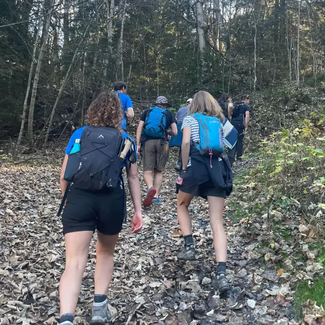
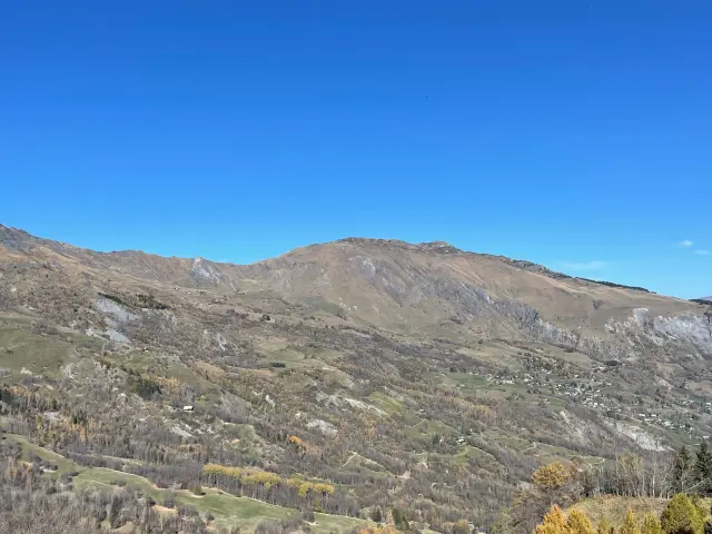
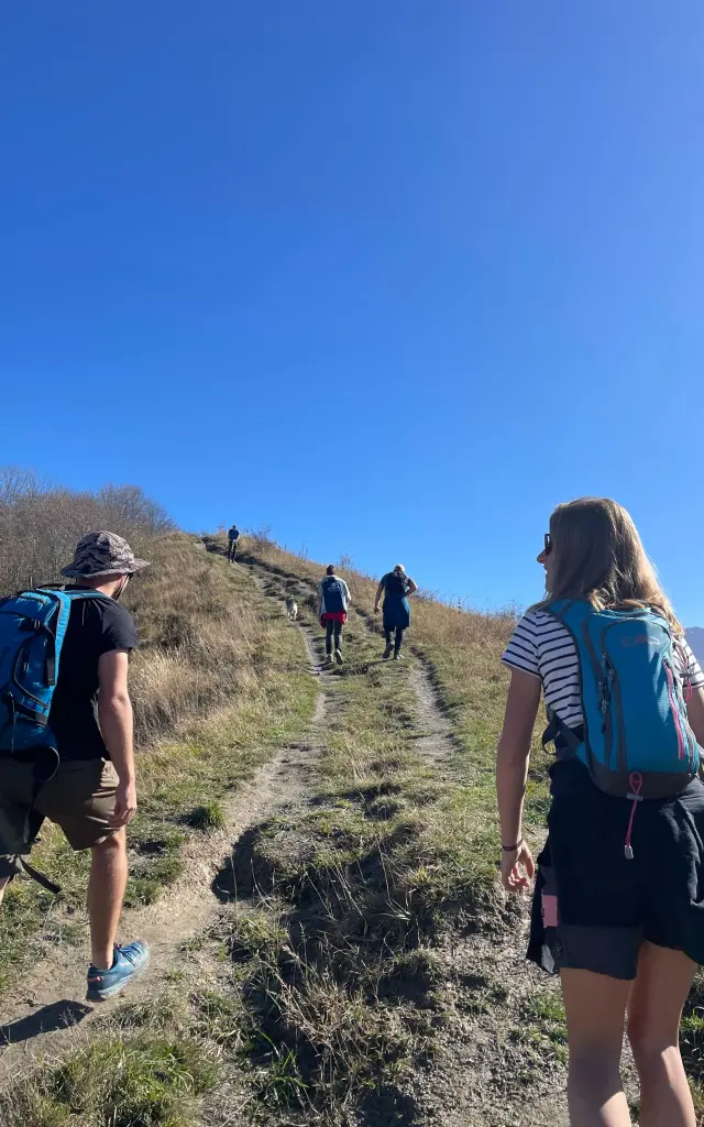
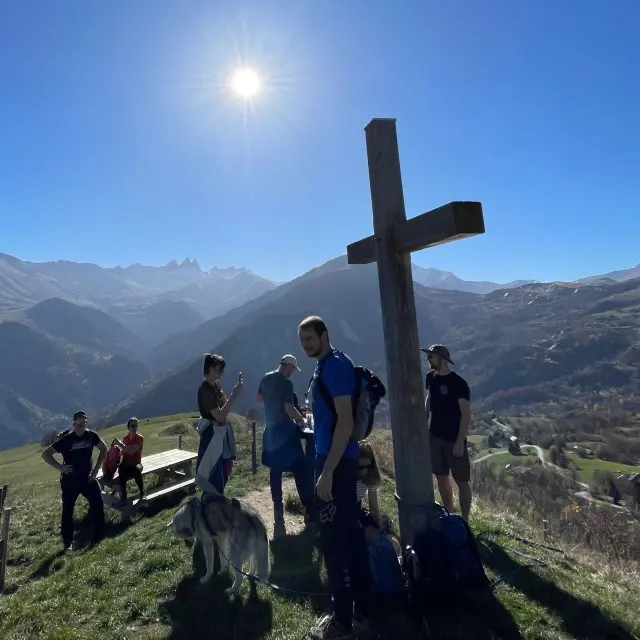
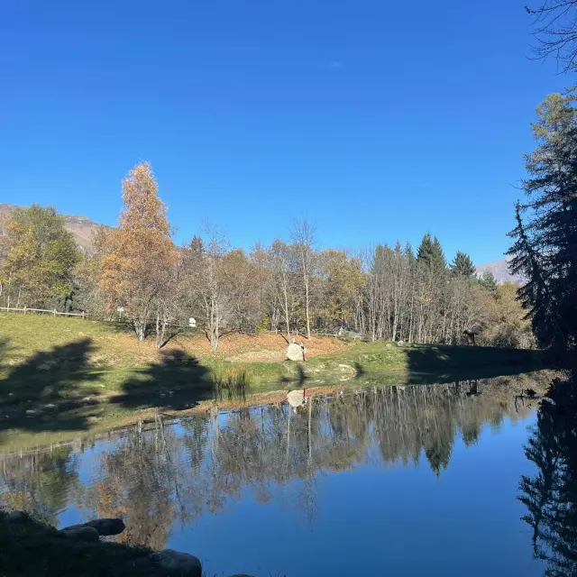
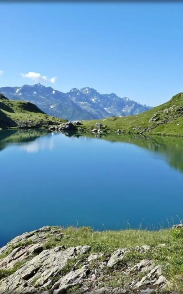
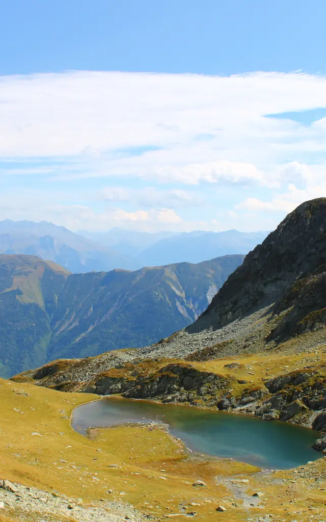
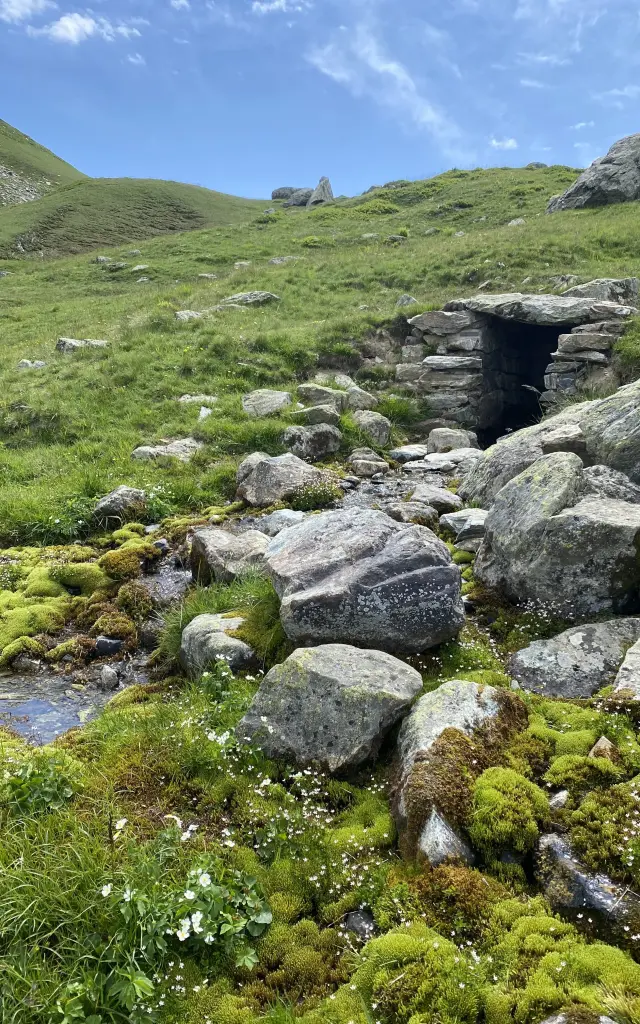
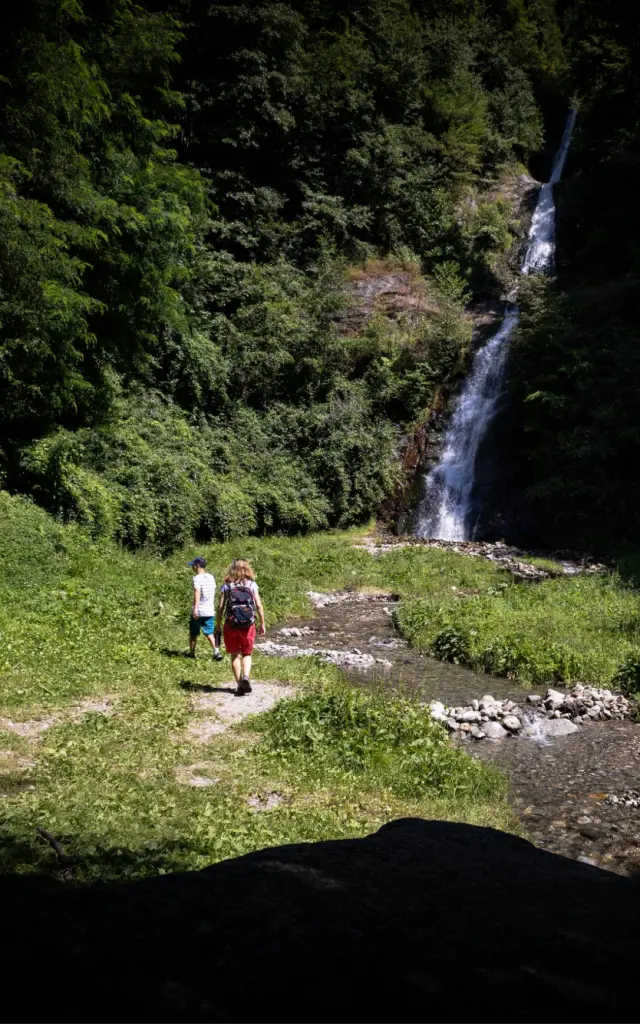
20 minutes from Saint-Jean-de-Maurienne, the meeting point is at Les Bottières, in the car park of the tourist office; the starting point is just next door. This walk was recommended to us because it takes place in the forest and provides an ideal spot for a picnic. Once everyone is ready, it’s off on a loop of around 5 kilometres, lasting an estimated 2? hours.

The 3 crosses (1529 m) 

The trail starts in the forest, where we follow the “Les 3 Croix” signs. We wind our way through the trees as we gain height, passing through Pierre Claire, Plan du Buis and Passage des 3 Croix. Suddenly, we emerge from the woods onto the ridges at the heart of the mountain pastures. In the distance, we finally catch sight of the famous three crosses.

At the top, we enjoy a 360-degree panorama of the Arvan peaks and the resorts of Le Corbier and La Toussuire. We’re facing the resort of Albiez-Montrond, with the Aiguilles d’Arves in the background. An orientation table helps us identify all the surrounding peaks.

Lac du Lou (1311 m) 

After taking in the panorama from Les 3 Croix, we descend through the mountain pastures towards the hamlet of L’Alpettaz, passing through Pré Sous Marin. Once we had crossed the road at L’Alpettaz, we were back in the forest, and everyone was starting to get hungry. Our efforts were finally rewarded when we arrived at Lac du Lou, where we sat down at one of the picnic tables. The lake is bathed in sunshine, which is very pleasant. Although swimming is prohibited here because it’s a fishing reserve, it’s a really nice spot and not very busy, so we’re glad we waited to eat.

It’s only a 20-minute walk to the end of the loop and the car park.

Getting there