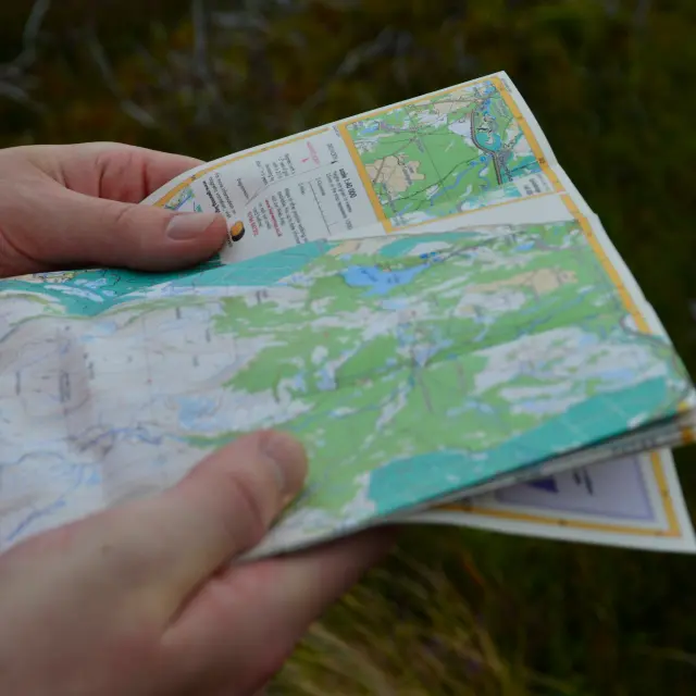
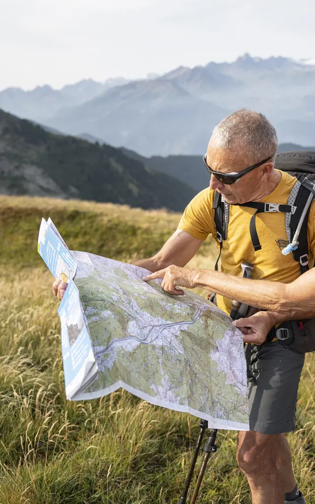
Orienteering

Ajouter aux favoris

Get your compasses and maps! Set off on an orienteering course in the Maurienne valley. Orienteering is a great way to discover the countryside in a different way.

the call of adventure Orienteering

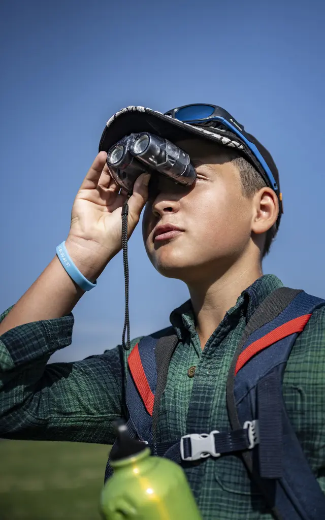
Orienteering is an all-round sport that is suitable for everyone. It can be practised in a club, during an event organised by the French Orienteering Federation, or it can be practised freely on a set site.

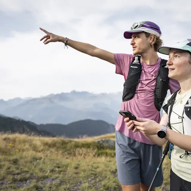
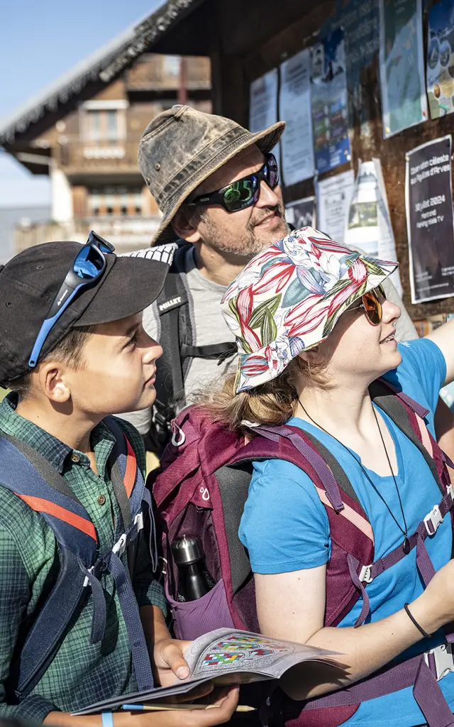
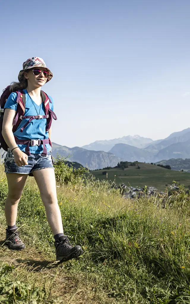
Orienteering is a sport that helps develop a wide range of skills, such as spatial perception and logic. Whether you’re a family member, an experienced orienteer, a keen sportsman or just looking for a physical activity to do at your own pace, orienteering is suitable for everyone.

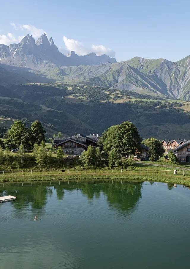
The Maurienne, with its vast mountainous terrain, is the perfect playground for orienteering. What’s more, orienteering allows you to discover the area in a different way, as close to nature as possible.

To keep the experience beautiful The right reflexes

Nature: be discreet and respectful

  • Just like at home: close fences tightly after you’ve gone through.
  • Our animal friends: avoid grazing herds and avoid crops or hay meadows.
  • Leave no trace: pick up your litter and leave the site as clean as you found it.

In the mountains, safety comes first

  • Be realistic: choose a route suited to your fitness level.
  • Be cautious: don’t take any unnecessary risks and always check the weather forecast before setting off.
  • Equipment: a compass is essential! Make sure it’s pointing due north before you set off.

Running Searching Breathing Routes in the Maurienne

Mongellafrey 

Leaving from the Grande Léchère lake refuge

Green Route

very easy level, 1.5km, 12 markers

Blue route

fairly easy, 2km, 11 markers

Saint-Alban-des-Villards 

Leaving from the church car park in Saint-Alban-des-Villards

Green Route

easy level, 3km, 12 markers, 150m ascent, 1 hour 30 minutes

Blue route

medium level, 7km, 11 markers, 380m ascent, 1 hour 30 mins

Saint-Colomban-des-Villards 

Leaving from the centre of the village of Saint-Colomban-des-Villards

Green Route

easy level, 8 markers

 Chambeaux sector

Starting from the gîte de la Tuvière
*find the markers marked with AURAs

Green route

very easy level, 2.5km, 7 markers, 150m ascent, 45 minutes

Blue route

easy level, 3.6km, 8 markers, 250m ascent, 1 hour

Red route

easy, 4km, 10 markers, 320m ascent, 1 hour 30 minutes

Sur la Balme sector 

Leaving from the Plan de l’Aire car park (before arriving at the hamlet of Sur la Balme)
*find the signposts marked with AURAs

Blue route

medium level, 4.5km, 8 markers, 250m ascent, 1 hour

Red route

difficult level, 5km, 9 markers to find, 300m ascent, 1 hour 30 minutes

Croix de la Chevrotière sector 

Starting from the picnic tables above the Oullaz forest house
*find the signposts marked with AURAs

Green route

very easy level, 2km, 7 markers, 100m ascent, 30 minutes

Blue route

easy level, 2.2km, 11 markers to find, 150m ascent, 30 minutes

Red route

easy, 2.5km, 18 markers to find, 150m ascent, 1 hour

Long route, Sapey sector 

Starting from the picnic tables above the Oullaz forest house
*find the AURA markers

Orange route

medium-long level, 5.5km, 11 markers, 250m ascent

Red route

difficult level long, 8.5km, 13 markers to find, 540m ascent

Black route

very difficult and very long, 9km, 14 markers to find, 700m ascent

Le Mollard 

Leaving from the leisure area of the Lac du Mollard
*find the markers marked with AURAs

Green route

easy level, 4 markers

Blue Course

easy level, 5 markers to find

Red course

easy level, 6 beacons to find

Albiez-le-Jeune 

Leaving from Albiez-le-Jeune town hall
*find the signposts marked with AURAs

Green Route

very easy, 2km, 5 markers, 1 hour

Blue route

easy level, 2.5km, 6 markers to find, 1 hour 30 minutes

Red route

difficult level, 3.5km, 8 markers to find, 2 hours

Our answers to your questions